Set a radius.
Get the alert.
Drop a pin, choose a radius in miles, and Milebound tells you the moment you cross your boundary — or get close to it.
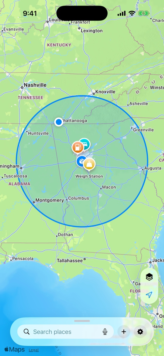
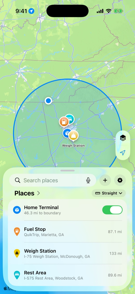
From a city block to five hundred miles.
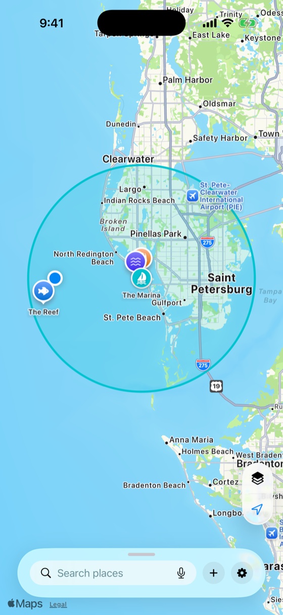
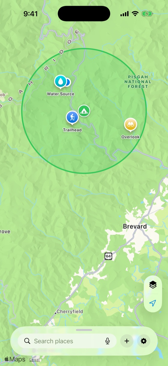
Set a circle around anywhere that matters — home, a terminal, a trailhead, a marina — at whatever size fits, from a tenth of a mile to 500. It stays accurate the whole way out.
Drag the radius — the map zooms with it, from a few city blocks all the way out to across state lines.
Three steps. About a minute.
Drop a pin, set a radius, and Milebound watches the boundary for you.
Search a place or drop a pin anywhere on the map.
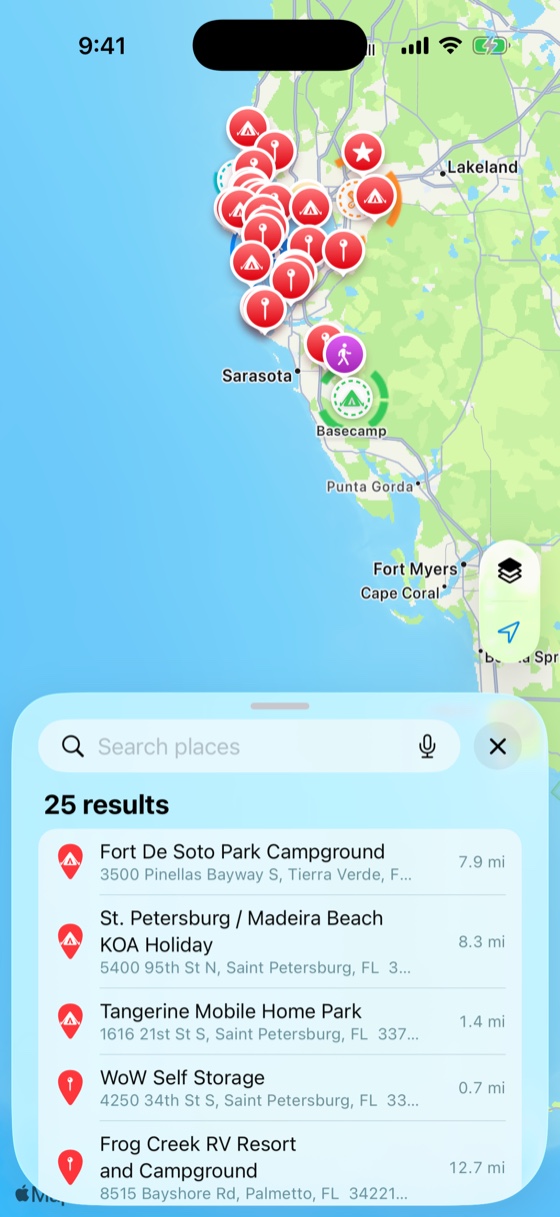
Anywhere from a tenth of a mile to five hundred.
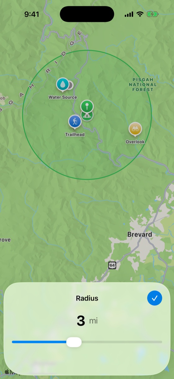
Cross in or out, or just get close, and Milebound tells you.
What Milebound does.
Alerts that fit how you move.
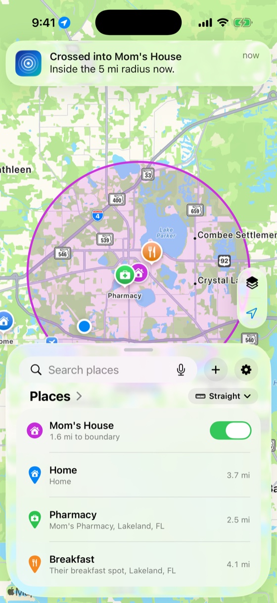
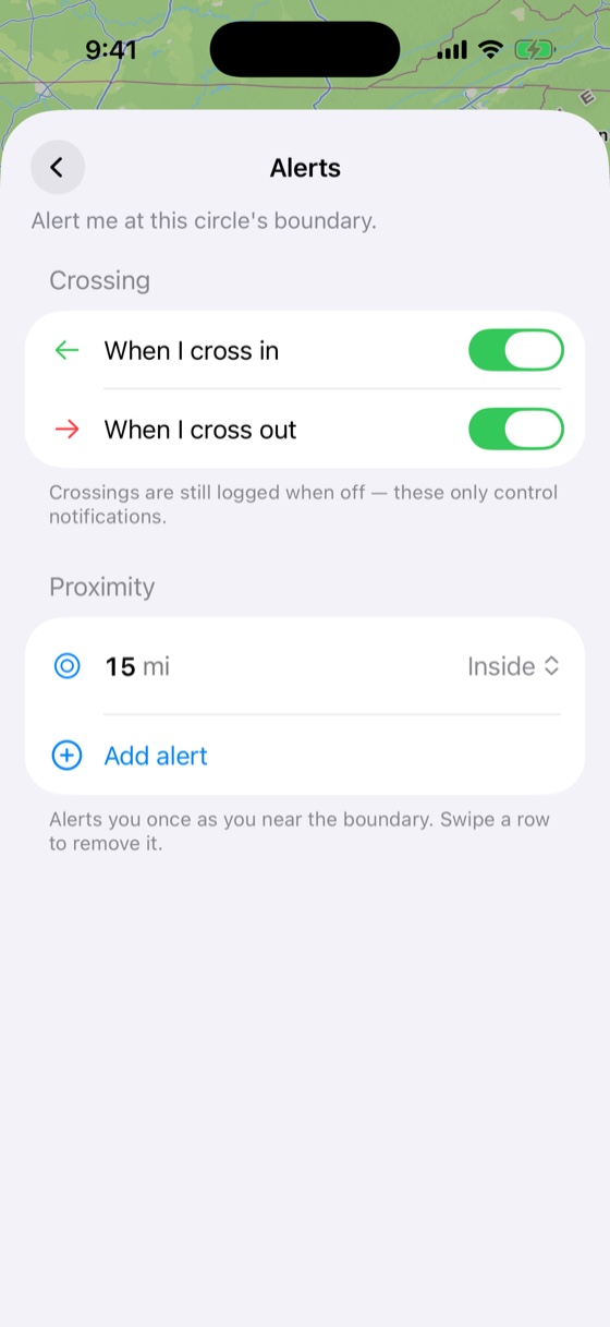
Cross a boundary and Milebound tells you the instant it happens — in or out. Want notice before you reach it? Add a proximity alert at 15 miles out. It alerts only on a real crossing, never on a GPS twitch.
Find what's nearby.
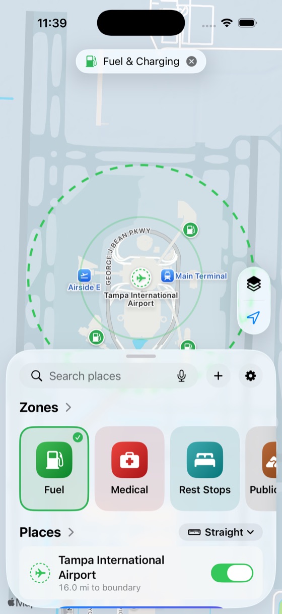
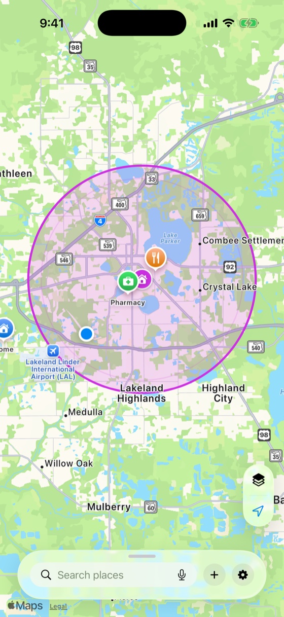
Pull up fuel, rest stops, medical, public lands, and more around you — each on the map with its own icon. Set a proximity alert and Milebound tells you as you get close.
Measure the distance, your way.
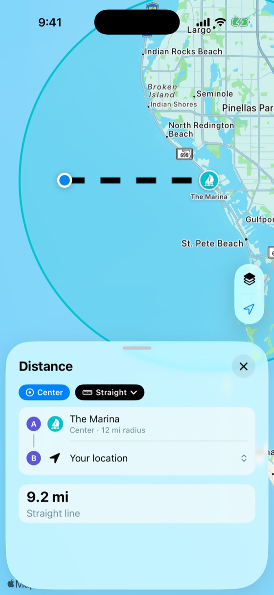
How far is that, really? Measure straight-line ("as the crow flies"), by road, or on foot — to a circle's edge or its center — with travel time.
Always on, easy on battery.
Milebound watches in the background and sips battery — precise GPS kicks in only when you're near a boundary. It even re-arms itself after a restart, so it never misses a crossing or alerts twice.
Whatever you're keeping an eye on.
Four people, four radii — 150 miles to three. The spread is the point.
In development — not yet available. Features and timing may change.
Good to know.

Set your first circle in under a minute.
Milebound is coming soon to iPhone — a free download when it lands.